Guided by Canada's Geospatial Leaders
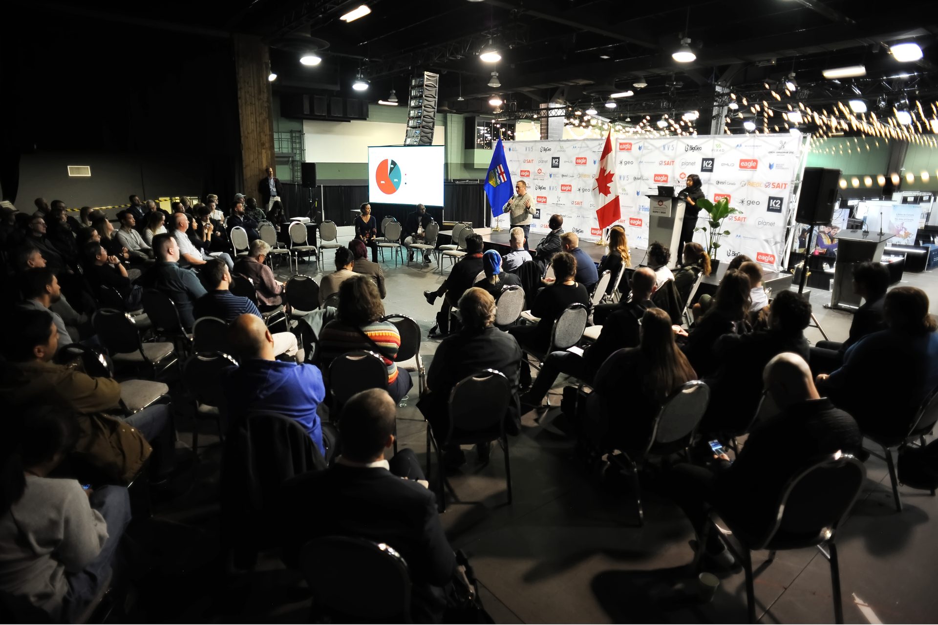
The GoGeomatics Expo is shaped by an Advisory Committee representing government, industry, academia, surveying, engineering, education, technology and communications. Together they ensure the Expo reflects the real needs, real opportunities and real future of Canada's geomatics community.
Why It Exists
A Conference Shaped by the Profession
A national geomatics conference is only as good as the people who shape it. The GoGeomatics Expo Advisory Committee exists to make sure the programming, the tracks, and the conversations at the Expo stay grounded in what Canada's geospatial community actually needs — not what happens to be fashionable, or what any single vendor or organization would prefer to see.
Committee members contribute their experience and judgment — not their commercial interests. They come from different corners of the profession, which means the Expo's program benefits from perspectives that wouldn't naturally end up in the same room without a deliberate effort to bring them together.
The result is a conference that reflects Canada's geomatics community honestly and in full — from the surveyor managing geodetic reference frames to the student encountering the profession for the first time, and everyone working in the space between.
Perspectives Around the Table
Twelve Points of View. One Shared Purpose.
"No single organization can represent Canada's geospatial community. The strength of the GoGeomatics Expo comes from bringing different perspectives around one table."
Meet the Advisory Committee
The People Who Shape Canada's National Geomatics Conference
These are not honorary appointments. Each member contributes active judgment, domain expertise, and community standing to the work of building a conference the profession can rely on.

The Expo doesn't happen by accident. Jonathan Murphy has spent more than two decades building the connective tissue that holds Canada's geomatics community together — GoGeomatics Canada, the national job board, the community meetups, the magazine, and now the Expo itself. His founding conviction was that Canada's geomatics sector was fragmented in ways that cost the profession: government and industry rarely spoke the same language, academia trained graduates for a market it barely knew, and the community's achievements went largely unrecognized by the public.
Murphy brings to the Advisory Committee the rarest kind of perspective — a view across the entire ecosystem, free from vendor affiliation. He tracks where the sector's real operational bottlenecks are forming, where the talent gaps are widening, and what Canada needs to build if it is to remain geospatially self-reliant. The Expo's vendor-neutral structure and its free, open Monday Forum are direct expressions of that philosophy in practice.

Few people in the geomatics world have a cleaner view of where precision technology is actually going than Bryn Fosburgh. With decades spent in executive leadership at Trimble — one of the largest and most influential geomatics companies in the world — he watched GPS evolve from early commercial adoption into the integrated, cloud-connected positioning infrastructure that now underpins modern construction, survey, and resource management globally.
His presence on the Advisory Committee gives the Expo something genuinely valuable: an honest read on the global technology roadmap. Fosburgh understands which capabilities are just around the corner, which remain years from practical deployment, and which promises exist mainly in marketing materials. That calibrated judgment helps ensure the Expo's technical programming reflects where practitioners will actually be working — not where vendors would prefer them to be.

Gavin Schrock is, in the best possible sense, someone who makes technology prove itself. A licensed land surveyor, geodesist, and longtime editor at international geomatics publications, he has spent his career asking the questions that marketing materials prefer to avoid: What does the accuracy specification actually mean in the field? How does this system perform under real geodetic conditions? What does the survey community need to know before committing to this investment?
When a positioning standard or reference frame update reshapes how Canadian surveyors calculate coordinates, Schrock is among the few voices who can explain both the technical reality and the practical implications clearly. His presence ensures that the Expo's surveying and geodesy programming meets the standards the profession actually needs — grounded in rigour rather than trend.

Carina Butterworth's commitment to the next generation of Canadian geomatics professionals is not incidental to her career — it has been central to it for more than two decades. An engineer, educator, and specialist in LiDAR and multi-sensor imaging systems, she has spent years teaching, speaking, consulting, and volunteering in the post-secondary geomatics community. That dedication recently culminated in a PhD in Biomedical Engineering — completed while working full-time and raising a family, a testament to the standard she quietly holds for herself.
Her perspective on the Advisory Committee bridges two worlds that don't always communicate effectively: the technical cutting edge of sensor technology and the practical reality of preparing students and early-career professionals to work with it. She understands what gaps still exist between classroom instruction and field expectations, and what institutions need to do to close them. She ensures that education remains a genuine pillar of the Expo — not an afterthought.

Alex Hill-Stosky created the SLAM Scan-Off because he believed that reality-capture technology should have to prove itself in public. At the 2023 Expo he organized the first live, neutral benchmark of mobile LiDAR and SLAM systems in Canada — setting up a standard course and letting instruments compete, side by side, on their own merits. It was a genuinely novel idea, and it became one of the defining features of the Expo's trade show floor.
His philosophy carries through into his committee work. Hill-Stosky pushes for programming that gives attendees something they can't get from a vendor demonstration: an honest comparison, a real technical challenge, and conclusions they can act on. He designs his scan courses deliberately to find failure modes — reflective surfaces, structural steel, uniform corridors — and his knowledge of where SLAM systems struggle is as useful as his knowledge of where they excel.

The geomatics sector is generating more data than ever before. The harder problem — one that most conference sessions gloss over — is whether the algorithms processing that data are actually producing trustworthy results. Peter Srajer has spent his career at the intersection of sensor physics, spatial mathematics, and engineering software, and his particular skill is finding where things quietly go wrong: coordinate transformation formulas with overlooked errors, calibration assumptions that break at scale, processing pipelines that drift without announcing themselves.
That perspective is exactly what the Advisory Committee needs as the Expo expands into GeoAI, real-time digital twins, and autonomous data collection. Srajer helps ensure that when these topics appear on stage, they are treated with the rigour they deserve. His presence protects the technical credibility of the conference — keeping sessions grounded in what the mathematics and the sensors can actually deliver.

Canada's geomatics community has a long and rich history. Ted MacKinnon has spent decades making sure that history doesn't get lost. Through his work building and maintaining online archives, resource indexes, and community platforms — including significant contributions to GoGeomatics Canada — he has preserved institutional knowledge that would otherwise exist only in the memory of those who lived it.
His value to the Advisory Committee is that institutional memory, combined with a deep understanding of how Canada's geomatics profession is structured from coast to coast. MacKinnon understands the regional nuances, the federal programs that came and went, and the community dynamics that shape how professionals in different parts of the country experience the sector. He brings a long-view perspective rooted in how Canada's geospatial identity actually developed — essential context for any committee trying to build something that serves the whole country.

Most technical conferences are excellent at discussing technology and considerably less useful when it comes to the business of running a geomatics company. Steve Slusarenko changes that. With a career built on helping geomatics organizations navigate corporate restructuring, scale their operations, and adapt to rapid technological change, he brings a senior business perspective that is rare at technical events.
The questions he focuses on — how do you retain talent through a platform migration? How do you price a service when the underlying technology is shifting? How do you build a resilient organization when the market is consolidating? — matter to a large portion of the Expo's audience. His presence on the Advisory Committee ensures those questions get serious programming. He also has a particular understanding of why technology rollouts succeed or fail, and it often has very little to do with the software itself.
Outside his consulting work, Slusarenko is a driving force behind SUMDEx — the Subsurface Utility Map Data Exchange — a not-for-profit initiative building federated data infrastructure to reduce line strikes and worker injuries from buried utility conflicts across North America. It is exactly the kind of applied geospatial problem the Expo exists to advance: location data, public safety, and the hard organizational work of getting competing systems to share information reliably.

The ambition of modern geospatial projects — smart cities, real-time digital twins, national spatial data infrastructure — is only as good as the database architecture underneath it. Kent Jones has spent his career building those foundations: designing enterprise GIS architectures, writing the connectors that allow disparate asset management systems to share location data, and tuning spatial databases that carry millions of points into something an analyst can actually work with.
His perspective on the Advisory Committee is practical and specific. As the Expo's programming moves deeper into cloud migration, data interoperability, and the infrastructure behind GeoAI platforms, Jones ensures sessions engage with the actual challenges of building and maintaining these systems — not just their conceptual appeal. He has a particular expertise in open standards and interoperability: the persistent, unglamorous work that determines whether systems that should communicate with each other actually do. As the Expo's connection to SAIT's geomatics program, he also brings an educator's understanding of how the next generation of spatial data professionals is being trained — and what the profession needs from them.

Ken Ang's contribution to the GoGeomatics Expo begins long before the conference opens. As Chair of the Expo's RPAS program, he has been shaping the conversations around drones, remotely piloted aircraft systems and emerging geospatial technologies — making sure the sessions reflect not just where the technology is today, but where practitioners actually need it to go. That practical focus is the hallmark of his approach.
Through his work at Terra Remote Sensing, Ken has spent his career helping organizations apply advanced geospatial technologies to real-world project challenges — bridging the gap between technical innovation and effective delivery. He understands the operational realities that often get lost in the enthusiasm around new tools: what it takes to integrate an emerging platform into a live project, what the regulations mean for field teams, and what clients actually need from the data. His perspective on the Advisory Committee keeps the RPAS and remote sensing programming honest, grounded and genuinely useful.

Mary Jo Wagner has spent more than two decades in places where spatial technology meets the physical world — on mine sites, bridge decks, pipeline corridors, and ocean survey platforms — writing about what she saw with clarity and precision. As an independent journalist and editor for leading international geospatial publications, she has built one of the sector's sharpest eyes for what actually matters to practitioners versus what generates interest at a trade show.
Her value to the Advisory Committee is that global vantage point, combined with a communicator's discipline. She understands how Canada's geomatics community is perceived internationally, which Canadian projects have caught the attention of global practitioners, and what the international sector is working on that Canada should be watching. She ensures the Expo doesn't simply assemble good content — but presents it in ways that audiences genuinely engage with.
Stronger Together
Different Perspectives. One Conference.
No single perspective around this table could build the GoGeomatics Expo alone — and that is precisely the point. The committee's strength is not the sum of individual accomplishments. It is what happens when a licensed geodesist, a global technology executive, a classroom instructor, a database architect, and a field journalist are all looking at the same question from genuinely different angles.
Together they catch what any one of them would miss. A program that a vendor perspective finds exciting might be too thin on practical application — a field practitioner will notice first. A curriculum direction that looks logical from a classroom might be disconnected from where the market is heading — a business strategist will raise the flag. A technology trend that generates headlines might not survive contact with real geodetic standards — a surveyor will ask the right questions.
That collective rigour is why the Expo earns the confidence of Canada's geomatics community year after year — and why it continues to grow.
"The most interesting advancements in your field come from a group of diverse people getting together just by chance and throwing their opinions into the mix."
Peter Srajer — Advisory Committee Member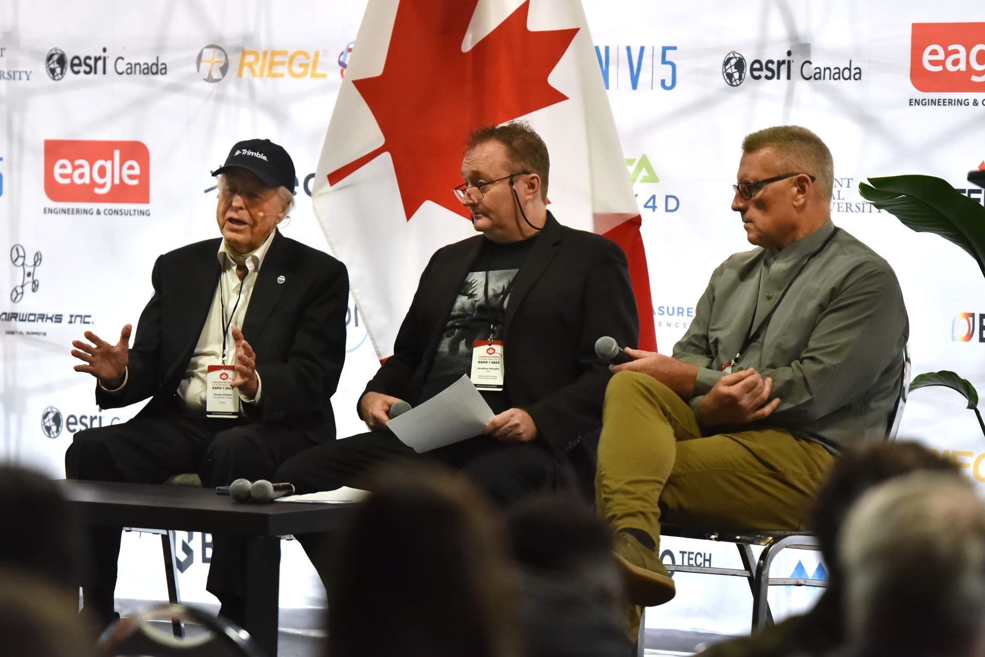
Be Part of Canada's Geomatics Community
October 26–28, 2026 · The Big Four Roadhouse, BMO Centre · Calgary, Alberta
Attend, exhibit, sponsor, or put your work in front of the profession. Canada's geomatics community gathers here.